
Broker Packages
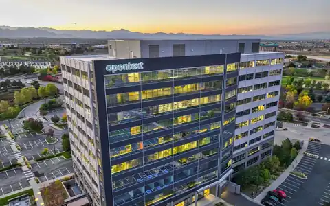
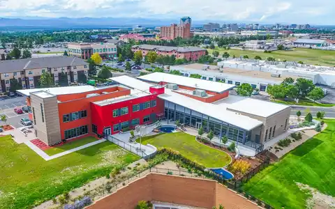
Our drone photo and video services are guaranteed to elevate your commercial listing and help create beautiful offering memorandums to sell at top dollar.

Tell us about your professional media or project needs for a free evaluation and quote from our team today!
Quick answer
Rocky Mountain Photography provides 3D laser scanning services Denver, Colorado architects, engineers, owners, contractors, and brokers use for existing buildings. We capture existing buildings with Matterport and laser scanning, then deliver navigable 3D tours, floor plans, point clouds, and BIM or CAD-ready files that support renovation design, tenant improvements, facility management, and leasing. Request a quote.
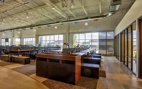
3D building scanning services in Denver help teams start with accurate existing conditions instead of outdated drawings. Many commercial buildings have been renovated several times, and the original plans rarely match what is actually there. Before an architect designs a tenant improvement, an engineer plans a mechanical upgrade, or a broker markets a vacant suite, a 3D scan records the space as it stands today.
Rocky Mountain Photography, founded in Denver in 2016 by brothers Jeff and Nick Perry, scans offices, retail spaces, industrial buildings, multifamily properties, and institutional facilities across Colorado. We choose the scanning method based on the deliverable, using Matterport for visual tours and floor plans and laser scanning when design teams need denser point clouds. Exteriors and roofs can be added with drone capture.
Different projects need different levels of detail. Matterport scanning captures a building as a navigable 3D tour with photographic quality, along with measurements, schematic floor plans, and data packages. It is fast, visually engaging, and well suited to leasing, facility records, insurance documentation, and early design. Laser scanning, covered in more depth on our 3D laser scanning services page, uses terrestrial scanners to produce dense, precise point clouds that architects and engineers bring into CAD and BIM software for detailed design. Many projects combine both: laser scanning in mechanical rooms or complex areas where precision matters, and Matterport throughout for a visual record that anyone can open. For exteriors, roofs, and site context, drone photogrammetry or LiDAR completes the dataset. We recommend the mix after learning what decisions the scan needs to support.

Deliverables depend on how the data will be used. Matterport tours are hosted links that open in any browser, with a measurement tool, tags, and options for schematic floor plans. Data packages, such as point clouds and reflected ceiling views, support early design. Laser scanning produces registered point clouds in common formats like E57 or RCP, which design teams import into their software. On request, scan data can be converted into BIM models or CAD drawings, as explained on our architect data integration page. We confirm the level of detail and tolerance your team needs before scanning, since those choices affect time and processing. Measurements from scans support planning and design, but critical dimensions should be verified by your team before fabrication or construction.

Architects and interior designers scan spaces before tenant improvements and renovations to avoid surprises from inaccurate drawings. MEP engineers scan mechanical rooms and ceilings before system upgrades. Owners and facility managers keep scans as a living record for maintenance, space planning, and emergency planning. Contractors scan before and after construction for coordination and closeout. Brokers and leasing teams use Matterport tours to let tenants walk vacant suites remotely, which is useful for out-of-state decision makers. Insurance and restoration teams document conditions after water or fire damage. Historic building owners record conditions before restoration. For broader tour work, see our virtual tour services, and for the full range of Matterport options, see our Matterport services. One scan often serves several of these teams over the life of the building.




















Our drone photo and video services are guaranteed to elevate your commercial listing and help create beautiful offering memorandums to sell at top dollar.

When our clients need beautiful visuals to showcase their portfolio or stand out in the market - they utilize our professional drone photography for their property.

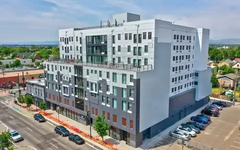
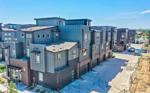
Our drone operators provide beautiful 4k aerial video of properties, projects, & listings. From animated property videos to raw clips, we're ready to deliver!

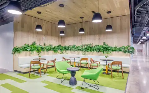
With our photography packages designed to impress, you can count on our team to showcase your commerical property's essence professionally.

With our drone services ranging from aerial imagery to precise scanning, mapping, and LiDAR - you can rely on our team to create the media you need.

We craft visual narratives and property videos that professionally showcase commercial properties and mostly importantly, that sell at top dollar.

Using modern day matterport cameras & LiDAR services, our commercial photographers & tour creators are able to scan and map your property.

Our team uses this premium photography & video service and time of day to balance artificial and ambient light & give any property a breathtaking glow.

Using a process called high dynamic range (HDR), we layer exposures together to guarantee the final images come out exceptional and vibrant.

“Rocky Mountain Photography is a fantastic business. We used them for professional property photos for two of our commercial properties and were very satisfied with their work and help. The pictures were exactly what we needed to effectively market our properties. Thank you!”

“Always do a fantastic job on my RE Listing photos and video. Great drone video and Twilight shots.”

“Super friendly and professional. Photos turned out great. Can't recommend highly enough.”

“Our brokerage has sold millions of dollars of commercial real estate across Colorado. Rocky Mountain Photography has been an excellent partner of ours, creating high quality professional media to showcase these various investment properties. They're consistently reliable, communicative and on-time.”

“Rocky Mountain Photography are experts in their craft and offer a wide range of services, including drone and twilight photography, videos with graphics, and lightning-fast delivery times. Thev are responsive, professional, and always go above and beyond to ensure that the final product exceeds expectations.”

“I met these guys at a CREJ conference and I am very impressed with their aerial and drone work & very happy with the results.”
Fast, Reliable & Professional Aerial Photography, Video, Virtual Media & Custom Videos for the Real Estate & Construction Professional Across the World

Scheduling made simple. Use our user-friendly website for online booking or connect with project managers for personalized service—because your time matters

Time is of the essence! Count on us for next-day delivery, adding speed and excellence to your commercial, drone, and residential projects.

With coast to coast coverage, we offer professional nationwide drone, photo, and video coverage, capturing properties and projects wherever you need!

Customer satisfaction is at the core of our business philosophy at Rocky Mountain Photography. We’ll always go the extra mile to deliver exceptional quality and beautiful media for our clients.

Trust our video expertise for creating visually stunning service videos, credible testimonial videos, and tailored training video production to meet your needs.

Serving hundreds of businesses and thousands of clients, Rocky Mountain Photography is a trusted choice for exceptional photography, video, & drone services.

Our process begins with a detailed understanding of your project, followed by the assignment of a dedicated project manager. We then determine the ideal package to meet and exceed your media needs.

Once your project needs are understood, our team schedules and captures your photography, video, or drone media professionally from ground and sky, making sure to include all client specifications and instructions.

Upon completion, we meticulously edit and upload the media for your review, providing any necessary updates or revisions before sending the final high-resolution deliverables to you on time and on budget.
They capture an existing building in 3D using Matterport cameras, laser scanners, or drones. Deliverables include navigable tours, floor plans, point clouds, and BIM or CAD-ready files that support design, construction, facility management, and leasing in Denver.
Matterport is ideal for visual tours, floor plans, and fast documentation. Laser scanning produces denser, more precise point clouds for detailed design. Many projects use both. We recommend an approach after learning your deliverables and tolerances.
Yes. Scan data can be converted into BIM models or CAD drawings at the level of detail your team specifies. Tell us your software and requirements, and we will scope the conversion before scanning begins.
Accuracy depends on the scanning method, settings, and processing. Laser scanning is generally more precise than Matterport. Your design team should confirm tolerances in advance and verify critical dimensions before fabrication or construction. We note methods in each delivery.
Yes. We coordinate with property management and tenants, scan during quieter hours when possible, and avoid capturing sensitive information. Some areas may need to be scanned after hours for privacy or security. Advance notice to tenants helps.
Request a quote with the building address, square footage, areas to scan, and the deliverables your team needs. We will recommend a scanning method and schedule the visit with property management. Existing drawings, even outdated ones, help us plan the scan and estimate time.