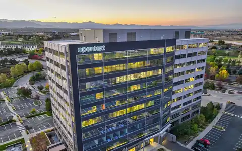
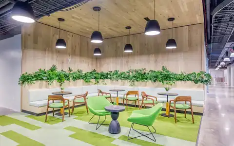
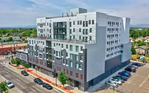
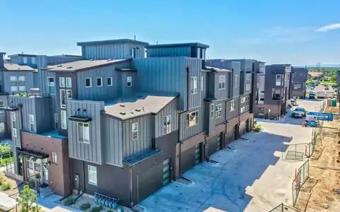
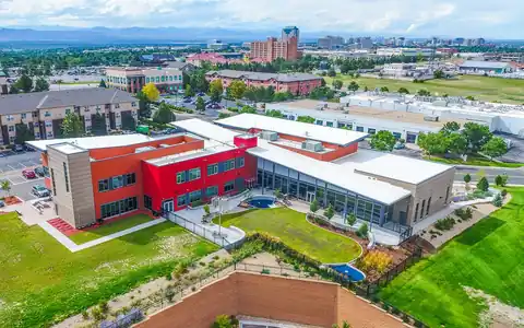
360 drone photography in Denver is the still-image side of spherical aerial work. Where 360 video moves, a 360 photo holds a single moment in full detail, so viewers can stop and study what is around a site: the roads, rooftops, open space, and mountain views. That makes stills the practical choice for listings, progress records, and anywhere people want to look closely.
Rocky Mountain Photography, started in Denver in 2016 by brothers Jeff and Nick Perry, captures spherical stills alongside our standard aerial drone photography. Because a 360 photo is built from many frames, it can hold more detail than a single wide image, and one capture produces both an interactive sphere and a set of flat photos for other uses.
Why a spherical still instead of a wide photo
A wide aerial photo chooses a direction for the viewer. A 360 still lets the viewer choose, which removes doubt about what lies outside the frame. Tenants can check whether a building faces a busy arterial or a quiet park. Buyers of a parcel can see the neighboring uses on every side. Project owners can look straight down at the site layout and then up toward the surrounding blocks. Since the sphere is stitched from many overlapping photos, detail holds up well when someone zooms into a sign, a roof, or an intersection. A single capture also yields flat crops in any direction, so one flight can supply the interactive view for the website plus several standard images for a brochure, an offering memorandum, or a progress report.
Capture, editing, and delivered files
On site, the pilot picks a takeoff point with a clear sky view, confirms the authorized altitude, and hovers while the aircraft captures a full grid of images. Several heights are common. Editing includes stitching, filling in the sky directly above the drone, leveling the horizon, and balancing exposure between bright sky and shaded ground. You receive equirectangular JPEGs in the 2:1 format that 360 viewers and virtual tour platforms accept, a hosted viewer link for easy sharing, and flat JPEG crops sized for web and print. Next-day delivery is available on many photo shoots, which helps when a listing or report is waiting on the images. If your platform needs a specific resolution or naming convention, share it during booking so the files import cleanly the first time.
Repeat captures for construction and land
360 stills shine as a time series. Construction teams capture a sphere from the same coordinates and height each week or month, and stakeholders can flip between dates to compare progress in every direction at once. Owners and lenders who cannot visit regularly get a fast, honest look at the whole site. For land, a sphere taken before any work starts becomes a baseline record of trees, drainage, and neighboring structures. We log the position, heading, and height of each capture so later flights line up closely, even when a different pilot flies the next visit. This pairs well with our construction site photography when the project also needs ground-level detail, and with mapping deliverables when engineers need measurable data rather than imagery to look at.