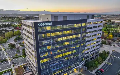
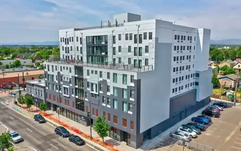
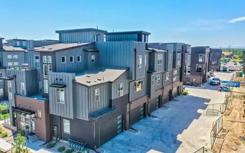
A drone visual inspection in Denver lets engineers, asset owners, and maintenance teams see the parts of a structure that are expensive or risky to reach. Facades on mid-rise buildings, light poles, signs, cell towers, water tanks, chimneys, and bridge undersides all age over time, and looking closely usually means lifts, scaffolds, or climbing crews. A drone brings the camera there first.
Rocky Mountain Photography, founded in Denver in 2016 by brothers Jeff and Nick Perry, captures visual inspection imagery for engineers, property owners, contractors, and industrial clients. Our pilots are Part 107-certified and insured. We gather thorough, well-organized images and video, while the interpretation and any structural or code decisions stay with your licensed engineer or qualified inspector.
Structures and assets we document
Visual inspection flights cover many asset types. Building facades are captured in systematic passes, elevation by elevation, to document cladding, sealant joints, windows, balconies, and parapets, which is useful for facade programs and before restoration work such as sealant replacement. Industrial sites include stacks, tanks, conveyors, and elevated piping. Infrastructure includes signs, light poles, retaining walls, and the visible parts of bridges, within the limits of site access and safety. Telecom and utility structures can be documented for owners and contractors who need a condition record. Oil, gas, and energy facilities often have extra safety requirements we follow on site. Each project starts with a list of the components your inspector wants to see, so the pilot captures the right details rather than generic views.
How the imagery is captured and organized
For consistent results, pilots fly planned patterns at steady distances, overlapping images so nothing is missed. Facades are often flown in vertical or horizontal strips, labeled by elevation and floor. Towers and poles are captured from multiple sides at regular height intervals. High-resolution stills are the main deliverable, with video added when it helps reviewers understand context or movement. Images are delivered through an online gallery or download link, organized by asset, side, and height, with a simple key or marked-up photo showing where each set was taken. When engineers need measurements or a model, we can add photogrammetry or LiDAR scanning from the same visit. We keep edits minimal so images represent actual conditions. Labeled sets make it easy for your inspector to reference exact locations in reports and repair scopes.
Safety, permissions, and scheduling
Inspection work often happens near people, roads, and active facilities. We review the site with the owner, identify hazards such as power lines and moving equipment, and follow any site safety orientation, PPE, or permit-to-work requirements. Part 107 limits flights over people and moving vehicles, so we may schedule early mornings, close small areas, or coordinate with traffic control on busy streets. Airspace authorization is checked before every flight, which matters downtown and near Denver's airports. Wind is the main weather factor, especially around tall structures that create gusts. We confirm conditions the day before and reschedule if needed. For roofs specifically, see our roof inspection and commercial roof pages, which use roof-specific workflows. Clear communication with your site lead keeps the day running smoothly.